Unorganized Territory
Unorganized Territory Supervisor: Tony Carter
Tel: 207-743-6359
Cell: 207-461-5040
Fax: 743-1545
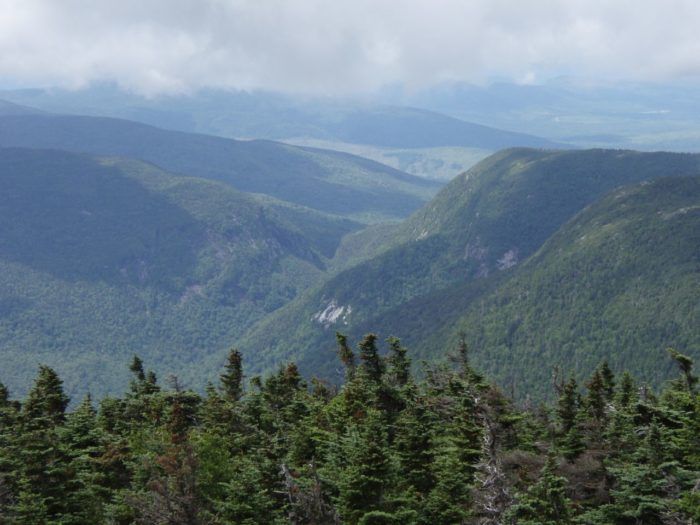
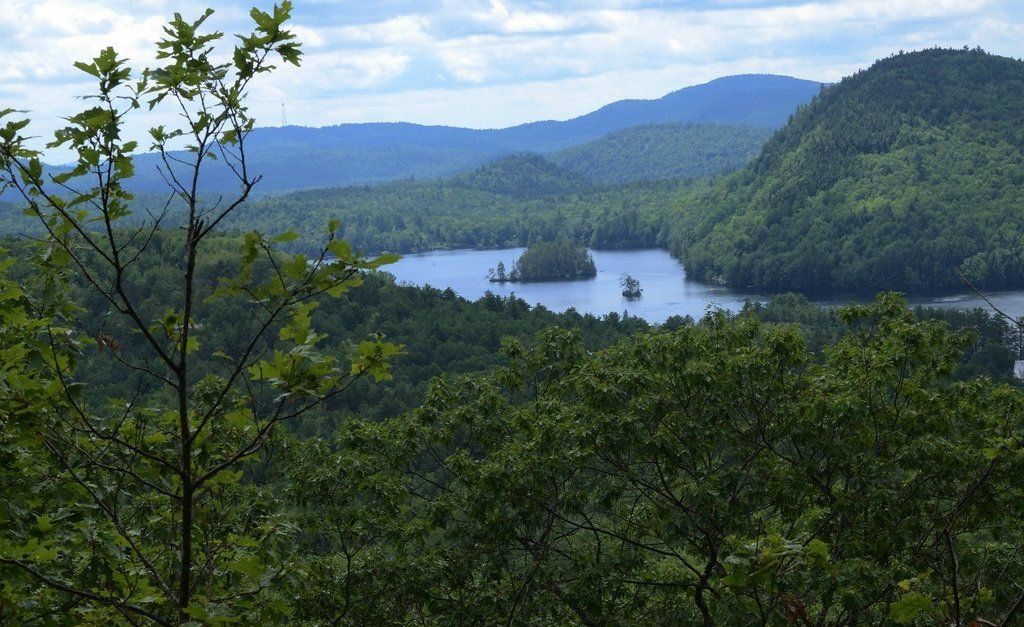
Albany Township
Community Resilience Workshops
3-10-26 and 3-24-26
ALBANY TOWNSHIP FORUM
Draft Summary Report
February 2026
Unorganized territory in Oxford County consists of an assortment of unorganized townships and gore-like entities. It is perhaps best described by breaking it down as follows:
* The entire area of the county north of Upton, Grafton, Newry and Andover has never been incorporated. Lincoln Plantation and Magalloway Plantation, which lie directly north of Upton along the New Hampshire border, are the only areas in this region which have even been formally organized into plantations. The rest of the area is for the most part quite remote, and has never had any significant population on more than a transitory basis.
* The area south of the above line has historically been mostly incorporated, but there are a few areas that have never been incorporated or organized. The former Milton Plantation was never incorporated but did progress to the level of being organized as a plantation. Aside from that, there are two areas that do not appear to have ever been organized at all. The first is Riley Township, which lies in between Grafton and Gilead, along the New Hampshire line. The second is Batchelders Grant, further south along the state line, in between Gilead and Stow. Batchelders Grant was once larger and has had portions included in the formation of or annexed by adjacent towns on a number of occasions over the years, but the portion that remains has never been incorporated. There was also once a Fryeburg Academy Grant in the vicinity of Batchelders Grant. After gradually losing territory to adjacent towns, it completely ceased to exist in 1913, when its remaining territory was annexed by the town of Mason.
* Between 1919 and 1944, three towns and one plantation in Oxford County dissolved, reverting to unorganized territory. Three of these, Albany, Mason and Milton Plantation, were in the southern part of the county. The fourth, Grafton, is in the north. Some of those in the southern part of the county have maintained significant population levels even after their dissolution.
Over the years, the U.S. Census Bureau has used different methods to compile data compilation for unorganized territory in Maine. From 1900 to 1950, data was tabulated for each individual unorganized entity. In 1960, a single catch-all “Unorganized Territory” listing was provided for each Maine County, generally with no further breakdown. Since 1970, the Census has grouped contiguous areas in each county into one or more “unorganized territories”. Three such areas are recognized within Oxford County:
* North Oxford Unorganized Territory: includes the areas in the northern part of the county which have never been organized, as well as the former town of Grafton and Riley Township.
* South Oxford Unorganized Territory: includes Batchelders Grant, and the former towns of Albany and Mason.
* Milton Unorganized Territory: includes the former Milton Plantation. (Milton is its own unorganized territory because it does not border any other unorganized territory.)